



New ECDIS features from Raytheon
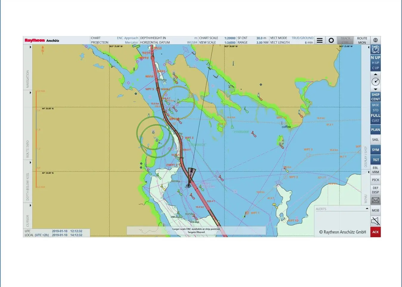
The ‘Plus Features’ include a variety of navigational aids and overlays, which are typically required for coast guard or naval ships, offshore, research ships and megayachts.
Key features
Search and rescue operations based on International Maritime Organisation IAMSAR Manual Volume II are now supported quickly and easily with multiple search patterns whilst the target intercept feature, aimed at ‘blue forces’ and pilots, allows users to calculate a course to reach a target at a given speed in the shortest possible time.
The new GeoObjectEvents feature enables offshore and fishery control vessels to watch a certain sea area and can be used for MARPOL Annex VI emission control areas whilst OUTHOUSE defines a fixed common reference position for a helicopter and its landing platform, for example on offshore vessels or megayachts.
From July 2021, all features are available as a software option for any existing ECDIS NX installation.
Related Articles
 ENERGY SAVING DEVICES
 LNG
LNG
 ALTERNATIVE FUELS & LUBRICANTS