



Maritime awareness system for Thai coastline
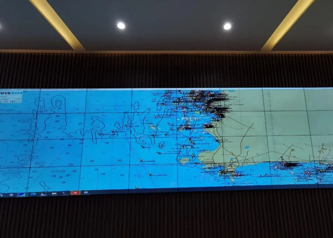
The maritime awareness system provides a real-time overview of marine traffic and factors affecting traffic such as weather, winds and wave conditions.
“We will basically digitalise the ocean space along Thailand’s western coastline towards the Andaman Sea and the lower Gulf of Thailand on the country’s east coast,” said Håvard Odden, head of Vissim’s maritime awareness business area.
The system’s primary purpose was to optimise port efficiency and safety. “However, with this extension, it will also contribute towards improving maritime security along the coastline, including helping to combat maritime crime such as smuggling, piracy and illegal fishing,” said Håvard Odden.
Vissim will deliver 23 sensor sites along coastline, each incorporating radar, automatic identification system, CCTV and metrological and hydro sensors. Vissim will also provide software and technology for a new control centre in Bangkok, where Thai authorities can monitor the ports and coastline.
Vissim has previously delivered a similar system for the upper Gulf of Thailand and towards the Cambodian border comprising ten sensor sites plus a control centre in Laem Chabang, the port city municipality in Si Racha and Bang Lamung districts in Chonburi Province, Thailand.
Related Articles
 ENERGY SAVING DEVICES
 LNG
LNG
 ALTERNATIVE FUELS & LUBRICANTS