



GPS – good but vulnerable
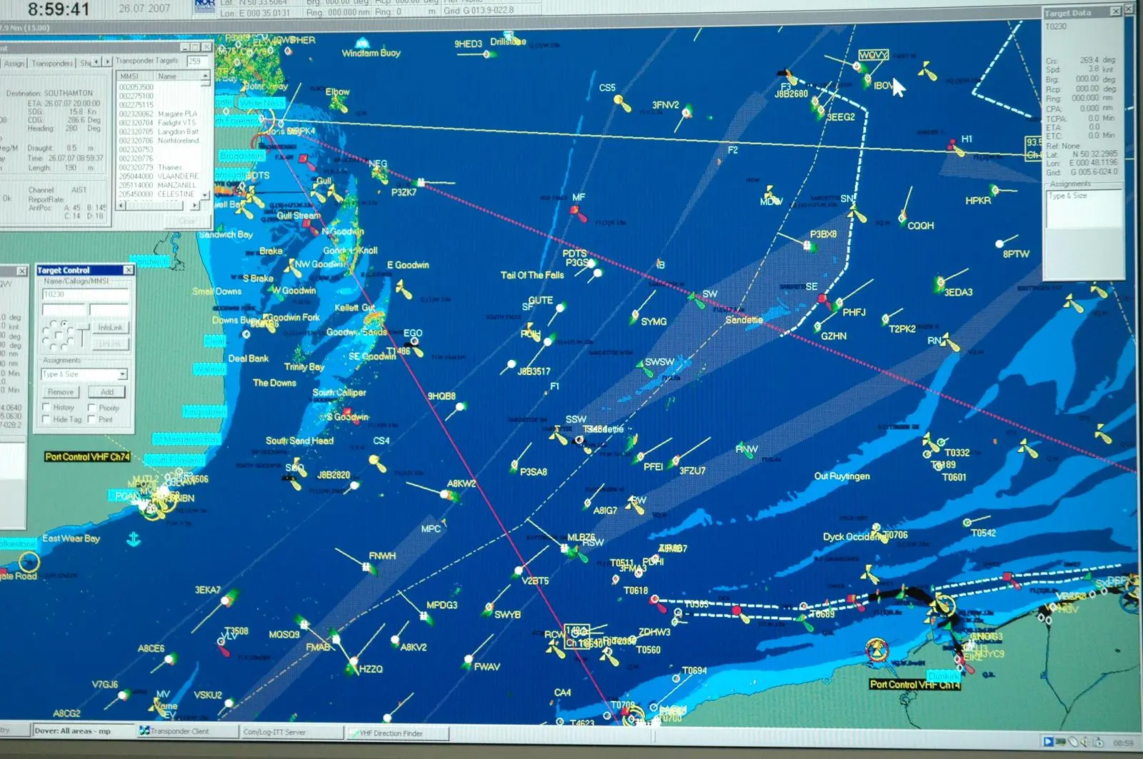
It has now become routine. Probably every ship sailing the oceans relies on Global Positioning System, the satellite navigation system devised originally for the US military, for position fixing. A whole generation of navigators has now grown up to rely almost totally on GPS. It is easy to see why, because GPS positioning offers exceptional position accuracy, it is available day and night, it is unaffected by visibility and indeed it comes very close to being the ultimate position fixing system. Its very accuracy and availability makes it hard to dispute GPS positions, so navigators today accept that GPS will be available, that it will work and it will maintain its high accuracy.
In the transition stages of the introduction of GPS the positions obtained by GPS were plotted on the paper chart but it was the availability of GPS positioning that made the electronic chart a viable proposition. Today IMO now accepts that ships can navigate by electronics alone and that paper charts are no longer required provided that certain requirements are met. A ship needs to have at least two independent systems in case there is equipment failure, there has to be an independent power supply in case the ship’s supply fails, and certain display criteria have to be met. It all sounds a sane and sensible approach to save navigation and most ships will carry one of the compact portable GPS units as a further back up.
What does not seem to be considered is what happens if the GPS itself fails. Historically GPS has proved to be very reliable and instances of failure have either been very local in nature or very transient in time so the likelihood of failure comes within acceptable risk limits.
GPS is just so easy to use, yet it is a technological marvel. The 28 satellites for the GPS system are in orbit around the earth 20,000km high. They transmit a signal that is picked up by the onboard receiver, and by measuring the time it takes for the signal to travel that huge distance, the distance is known and when it plots the distances from three or more satellites it knows where the receiver is because the positions of the satellites is known.
However it is those signals that are the weak point of the GPS system. They are sent out with a power of less than 100W, about the power of a light bulb. By the time they reach the earth’s surface they are extremely weak, equivalent to looking at that light bulb from perhaps 100 miles away. This can make them vulnerable and there is growing concern about this. We have come to rely on GPS to such an extent on land, sea and in the air that to have it unavailable could cause chaos. But those GPS signals can be distorted or interfered with.
Firstly there is interference from other transmitters. GPS operates on two high frequencies and a powerful transmitter nearby could affect these signals. Off Rapallo in Italy there is an aircraft beacon that guides aircraft into Genoa airport and that affects the GPS in the local area. Unlicensed TV and radio stations can also affect the signal in local areas. These are both local problems, and are generally known and understood.
More worrying is the prospect of intentional jamming of the signal. You can go on the Internet and find a wide variety of GPS jammers for sale. Most of these only have a range of a few metres and they are designed for jamming in-car tracking systems. A car or truck thief would want one of these in case the vehicle he steals has a tracking device on board. Many trucks have similar tracking devices and a driver might want to make a deviation without his boss knowing so he switches on the jammer.
That is relatively harmless, albeit illegal, but search carefully and you can find more powerful GPS jammers. A 100W unit could cut out the signals over a considerable radius around it. It does not take a lot of imagination to visualise what might happen if one of those was in the hands of somebody with evil intentions. Think of the mayhem that might be caused on a foggy day in the Dover Straits or other busy shipping lane if the GPS signal suddenly became unavailable.
IMO is driving the concept of E-Navigation with implementation scheduled for late in this decade. The need for a robust systems is recognised, particularly the need for redundancy. In a report for the Royal Academy of Engineering Dr Martyn Thomas, chairman of the Academy’s global navigation satellite system (GNSS) working group, has expressed concern. “Even if operators are well versed in procedures for the loss of the GNSS signals the number of interlinked systems simultaneously activating alarms could lead to eroded situational awareness in what could well be an emergency situation”. The report cites the English Channel as a ‘safety of life’ critical situation for a loss of GPS signals.
The General Lighthouse Authority (GLA) in Britain has carried out jamming trials which demonstrated that the full denial of the GPS signal led to large indicated errors in the ship’s position. Worse, lower power jamming caused misleading information with “significantly erroneous positions but no alarms”. It is not just the electronic chart system that could fail but many communication systems as well.
Of course shipping could switch to traditional navigation, and the radar would still work. However if the GPS signal was jammed there would be a host of alarms sounding on board and when alarms sound on the bridge of a ship the initial focus tends to be on the alarms and trying to subdue them rather than on trying to take corrective action. It could take some time to adjust to the loss of the GPS signal and to try and develop an alternative navigation strategy that would allow the ship to continue to navigate safely.
The alternatives would be visual navigation and radar. Visual navigation is an almost forgotten art these days, and radar is primarily used for collision avoidance so the techniques of using it for navigation are not well practised. Both of these alternatives require the availability of paper charts for plotting and these are being phased out so the result of a failure of the GPS is likely to be a period of chaos on the average ship’s bridge. First the alarms and their cause would need to be indentified and then alternative navigation systems brought on line. There could be half an hour of chaos before some form of normality is restored and in narrow and complex shipping lanes that could be enough time for disaster to strike. If the jamming occurred in fog the results could be even more chaotic.
Alternative satellite positioning systems are coming on stream, such as the Russian Glonass and the European Galileo, but these all operate on frequencies close to that used by GPS so they don’t provide a safe alternative if the GPS fails, and would be equally vulnerable to jamming.
The solution being promoted by the GLAs and bodies such as the Royal Institute of Navigation is for the establishment of e-Loran, an upgraded version of the now defunct Loran C. This is a land based electronic system and trials have shown that it can provide an alternative system with adequate accuracy for safe navigation for shipping. The GLAs have such a system designed and partially established but have not been able to secure funding for a fully established system. In the US the Coast Guard has closed down its Loran C stations despite these being a suitable basis from which to establish an e-Loran system.
For shipping the consequences of jamming or spoofing the GPS signal could be serious resulting in pollution and loss of life as well as a huge financial cost. For smaller craft there might be a less immediate danger provided that a look out is maintained and the navigator does not rely totally on what the GPS indicating. However the threat is there, not only from possible terrorist threats but also from space weather that can be another cause of interference to the GPS signal. Then there is the potential for spoofing, a much more serious threat where the GPS signal is replaced by a similar but false signal that replicates the GPS but gives false readings. GPS jamming and spoofing may be illegal but that will not stop people using them if they are adequately motivated. There does appear to be a reluctance to firstly, accept the problem, and secondly, to do something about it.
The British government has funded the development of a system that would be able to trace sources of GPS jamming, but that would not necessarily prevent jamming in the first place. The only logical solution at present is to have an alternative position fixing system available to take over in the event of jamming occurring. But maybe it will need a major disaster before action is taken – as is normally the case in the marine world.
Related Articles
 ALTERNATIVE FUELS & LUBRICANTS
 ALTERNATIVE FUELS & LUBRICANTS
 OPINION