



S-100 era nears: UKHO on the next generation of navigational data
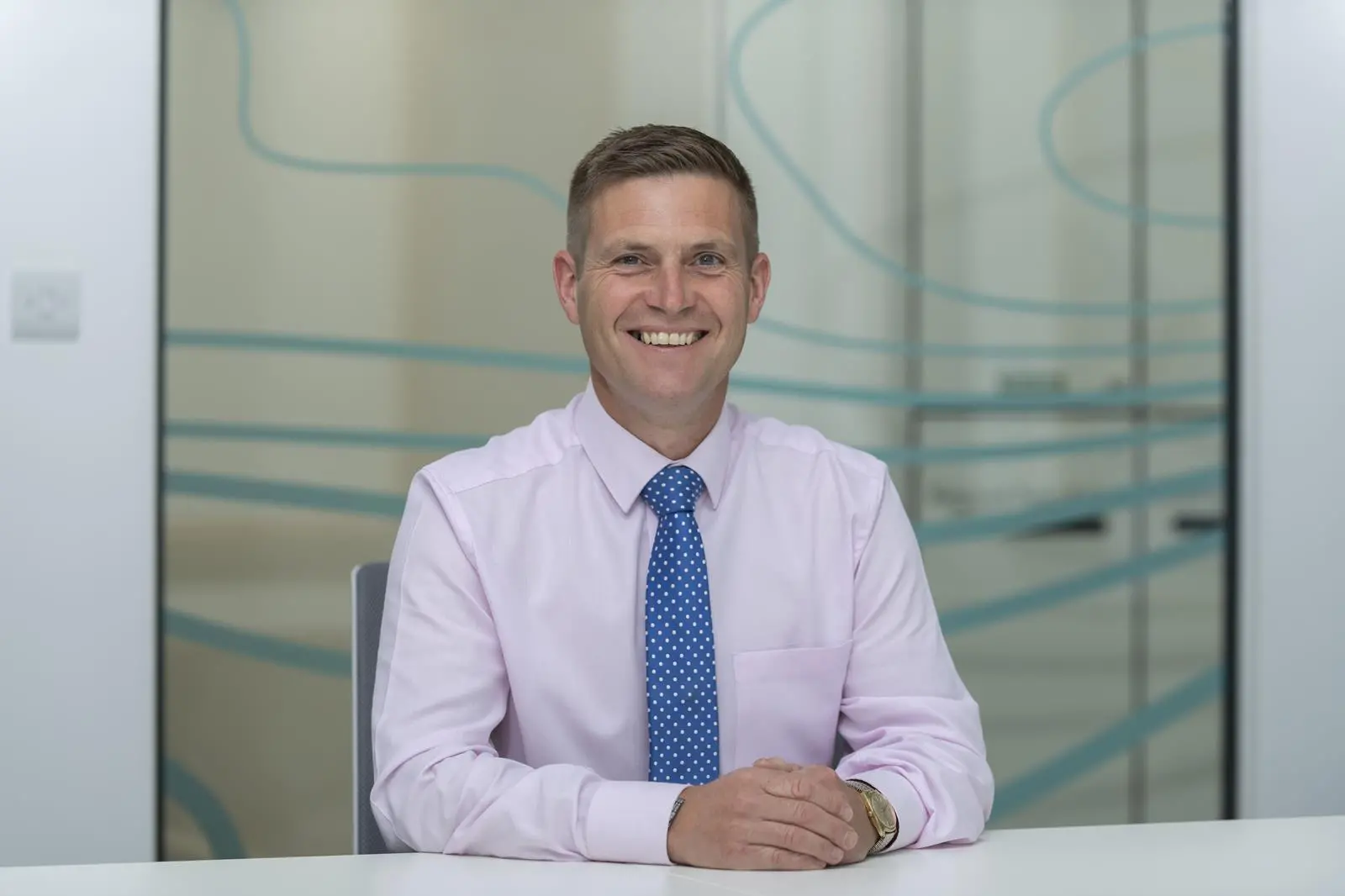
We spoke with Tom Mellor (pictured), head of technical partnerships at the UK Hydrographic Office, about s-100, a universal data framework that aims to revolutionize digital maritime information by improving data accessibility, compatibility, and usability
Here’s a full transcript of the interview:
David Stevenson, editor of The Motorship:
Hi, welcome to another edition of the Motorship podcast.
Today we have Tom Mellor, who is head of Technical Partnerships at the UK Hydrographic Office.
Tom, thank you very much for being here. How are you?
Thomas Mellor, head of technical partnerships at the UK Hydrographic Office:
Yeah, good, thanks.
David Stevenson
Brilliant.
So, I’ve been looking at the S-100 standards—either coming in or already here. Can you tell me how easy it was to replace the existing S-57 framework, and what sort of timeline there is for the full rollout?
Thomas Mellor
We have to recognise that S-57 charts won’t be retired for some time. New systems being built to handle S-100 data products will be “dual fuel”—they’ll be able to display both the new S-100 products that the IHO is developing, and the existing S-57 charts still used today in ECDIS systems.
It’s expected that the IHO will publish product specifications based on S-100 this year. That will allow hydrographic offices and tool manufacturers to begin embedding these specs into their production tools. Native production of S-100 data products should start in the latter half of this year.
New S-100 ECDIS systems are expected to be available after 2026. However, this depends on the development of a testing standard and the systems going through type approval to meet IMO performance standards. So there are still a few steps to take before these systems are commercially available and fully in use.
David Stevenson
Sure. Will mariners be able to use their existing S-57 systems at the same time?
Thomas Mellor
Yes. There’s no requirement for shipping companies to replace all their S-57 ECDIS systems when S-100 systems become available.
From 1 January 2026, according to the IMO performance standard, it will be possible to install an S-100 ECDIS on board and still be carriage compliant—if such systems are available.
However, from 1 January 2029, the IMO will retire the performance standard for S-57 ECDIS. From that point, if you need a replacement or are building a new vessel, you’ll only be able to install an S-100 ECDIS system. That’s when the change becomes mandatory for new installations.
David Stevenson
Sure. I mean, S-57 came out some time ago. What sort of benefits does S-100 bring? Mariners can be quite wary of change, so what improvements will they see?
Thomas Mellor
There are some significant benefits for many stakeholders.
For mariners, one key improvement is in setting safety contours. Previously, with S-57 ENCs, there were limitations in the number of depth contours shown, which made it hard to set precise safety levels. For example, if your vessel has an 11-metre draft and you set that as your safety contour, the system might default to the next available contour—say 20 metres—because there isn’t enough granularity in the data.
This means the ECDIS ends up restricting navigable water unnecessarily and can raise alarms when you cross into areas that are actually safe. It undermines the very purpose of the safety system.
With S-100 and the new S-101 ENCs, combined with high-resolution bathymetric data, you can now set highly accurate safety contours. If your vessel needs an 11-metre contour, the chart will support that and clearly show the boundary between safe and unsafe water.
David Stevenson
Got it. With that added granularity, is there a risk of “alarm fatigue,” where the system becomes overly sensitive and triggers too many alerts?
Thomas Mellor
Actually, I think the opposite is true. With more accurate data, alarms will be more meaningful. If an alarm is triggered, it’s because you’ve genuinely strayed into dangerous water.
We’re also improving how the data is encoded, with new object classes and information objects. That should reduce unnecessary alerts.
Through upcoming UKHO trials, we’ll demonstrate the difference. For example, we’ll show how many alarms a route would trigger using S-57 data versus S-100 data, and ideally demonstrate a tangible reduction.
David Stevenson
That makes sense. Can you tell me more about the rollout? I think it’s a phased approach—S-101 is the navigation dataset, right? And S-111 plays a key role too?
Thomas Mellor
Yes, there are multiple product specifications being developed under S-100…
Like you said, the first phase products are all related to the operation of ECDIS in monitoring mode. These are intended for use at the front of the bridge ECDIS while transiting a passage. The IHO is releasing those product specifications in tandem, so you have your S-101 data — that’s your electronic navigational charts — S-102, which is bathymetric surface information, and S-104, which is water level information. You use that in conjunction with your S-101 ENCs.
All of that introduces a real dynamic element. As the tide fluctuates, you can add or subtract that information from the safety contour. The contour effectively expands and contracts as the tide changes. The combination of those datasets, used in front-of-bridge monitoring, is going to be a big game-changer for navigating officers. They’ll be able to look ahead to the ports they’re heading to and plan much more accurately for entry and exit.
It’s a significant improvement. We also have S-111, which provides surface current information. That can support fuel efficiency—if you’re sailing with the tide, it obviously benefits the operation of the vessel. The last specs included in this phase one rollout are S-124, which is for radio navigation warnings, and S-129, which is for under-keel clearance. That makes up the full package of S-100 product specifications coming in phase one.
The IHO is also looking at phase two product specifications, which will focus more on nautical publication information currently found in sailing directions and similar resources. That will come later.
David Stevenson
I wanted to ask about your partners. I spoke to a company in Athens a while back — NAVTOR — and heard them mention S-100. Can you tell me more about the partners you’re working with to develop and roll out the products?
Thomas Mellor
Yes, NAVTOR is involved in a project I’m leading at the UKHO with the French Hydrographic Office. It’s a large project where we’re creating all that phase one data for an area between Portsmouth, through the Channel Islands, and across to St. Malo.
The aim is to test and explore all the advantages of the new S-100 infrastructure. We’ll use that information, gathered through shore-based and sea trials, to demonstrate why mariners and shipping companies should invest in the new systems. NAVTOR is one of our partners developing new S-100 ECDIS systems, alongside SevenCs and Furuno.
We’re also working with OSI, who are building the WECDIS for the Royal Navy. They’ll be involved in trials using that system onboard one of the RN vessels operating out of Portsmouth. We’ve also been in contact with Condor Ferries, who are considering hosting the data within their ecosystems. So we’ve got a range of trial partners helping us to really test and understand the S-100 data onboard front-of-bridge vessels.
David Stevenson
Sure. I imagine there’s quite a bit of training involved for the crews of these vessels. Are you or the UK Hydrographic Office involved in that?
Thomas Mellor
Yes, at a higher level, the IMO has recognized that with the introduction of S-100 ECDIS systems, we need to assess training requirements. They’ve tasked the STCW Committee to look into whether additional training is necessary.
In our own trial project, we plan to do shore-based trials. But before that, we need to run familiarisation training with the crews who’ll be using the systems, so they understand the differences between what they use today and what the future S-100 systems will bring.
We’ll run scenarios — for example, planning a port departure at a certain time, then simulating a delay — and asking if the vessel can still safely leave. They’ll run the scenario using the current S-57 ECDIS, then again with the new system. The enhanced data in S-100 might show that the channel is still safe, where the older system might not provide that clarity.
So, yes, we’re definitely involved in making sure crews are trained and familiar with these systems, even during small-scale trials, before moving to sea trials.
David Stevenson
Right. One big change since S-57 came out is connectivity. I think I’ve heard you say it’s like going from dial-up to broadband. Can you talk about how that affects updates and keeping data fresh?
Thomas Mellor
Absolutely. Connectivity is a revolutionary change — and not just for S-100. It’s shifting a lot of operational capability from ship to shore. When I started out, I remember using satcoms that were expensive and unreliable — we were limited to two minutes at a time. Now, you can be in the middle of the Pacific streaming Netflix — the difference is massive.
Because of that, keeping charts and datasets updated now involves minimal data transfer. Thanks to low Earth orbit satellite systems with low latency, data can be transferred very quickly.
At the UKHO, we’ve already moved away from the old model of supplying digital updates once a week. Now, we can validate the data and deliver it immediately through our distributors, directly to vessels. That way, we minimize any delay — because even a short delay could be navigationally significant. We don’t know which information might be critical to which vessel, so the process has to be streamlined.
David Stevenson
Sure. It’s been, what, at least 20 years since S-57 came out? Looking forward, is S-100 the final form, or do you expect future upgrades?
Thomas Mellor
S-100 was built with exactly that in mind. Technology moves fast, and the key difference with S-100 is that it’s extensible. It can adapt to future requirements without needing major software upgrades.
Let me give you an example. The ECDIS systems using S-100 are designed to read in feature and portrayal catalogues — files that dictate what data can be shown and how it’s displayed. So, if a new buoy or light feature needs to be added, we just update the feature catalogue to include it, update the portrayal catalogue to define how it displays, and send that as a data update.
The ECDIS automatically ingests those catalog files, and when hydrographic offices include that new feature in their charts, the system already knows how to handle it. That means we don’t need a big software overhaul every time something changes — it’s all built to evolve.
Related Articles
 ENERGY SAVING DEVICES
 LNG
LNG
 ALTERNATIVE FUELS & LUBRICANTS